Apolaki
Mapping Potential areas in the Philippines for Solar Microgrids
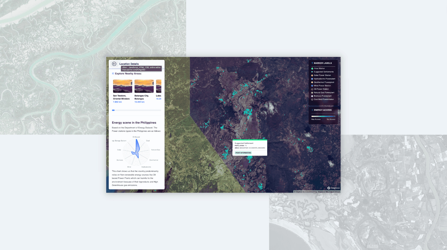
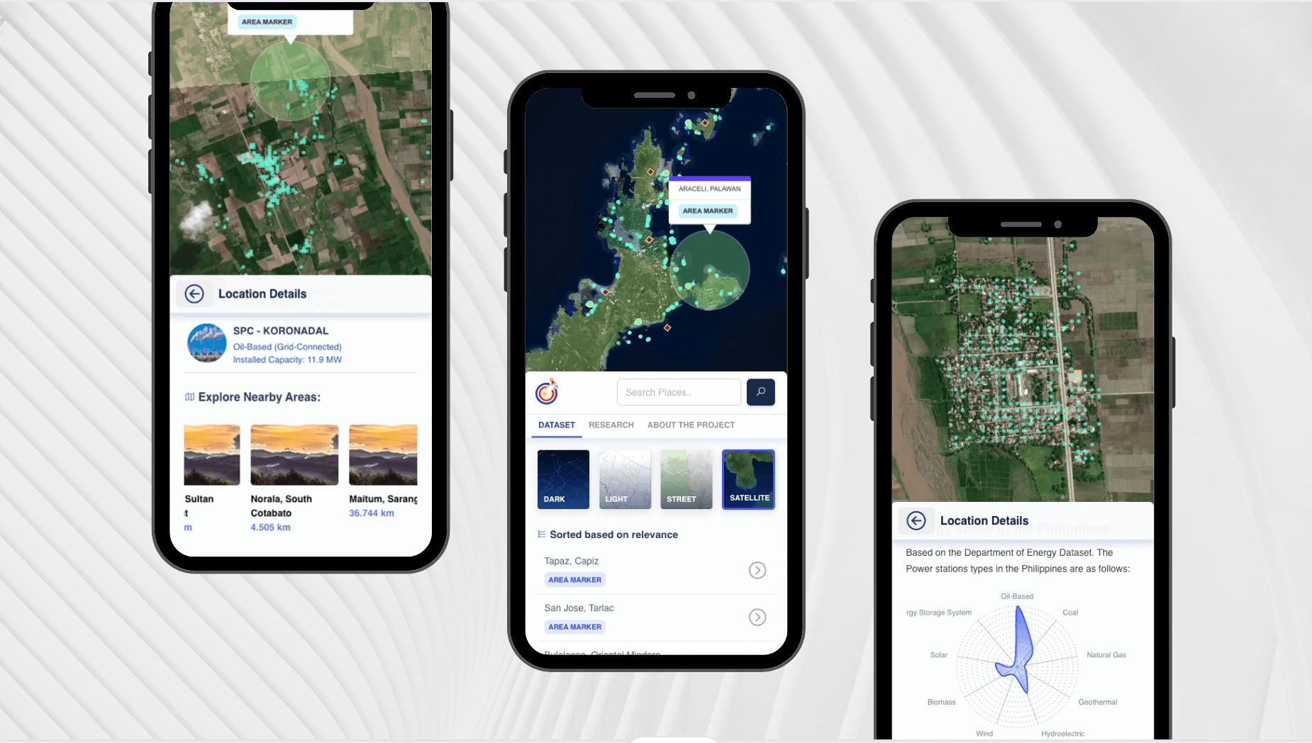
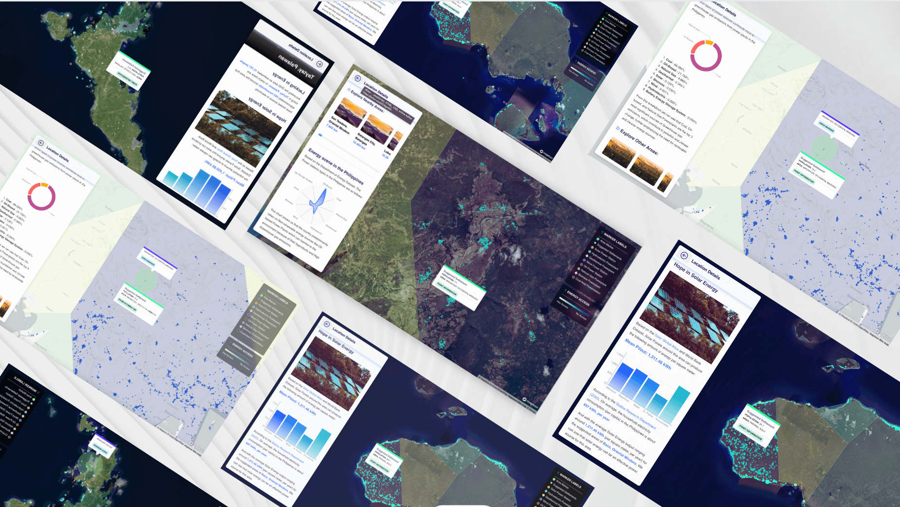
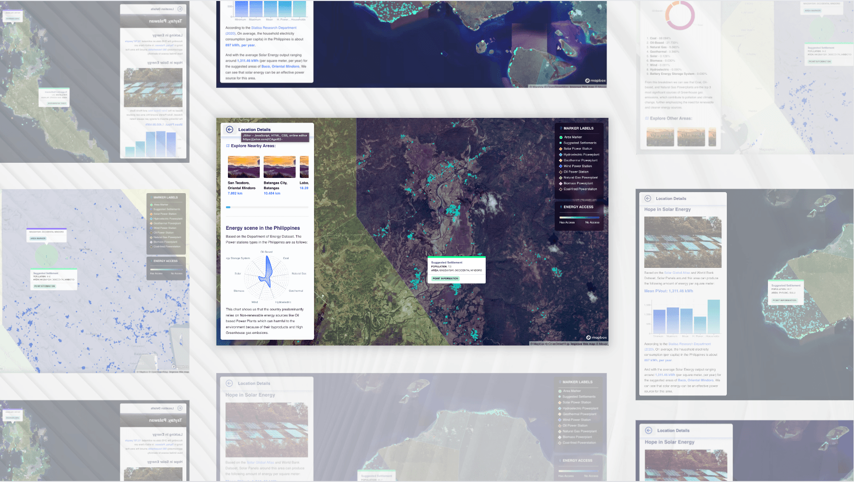
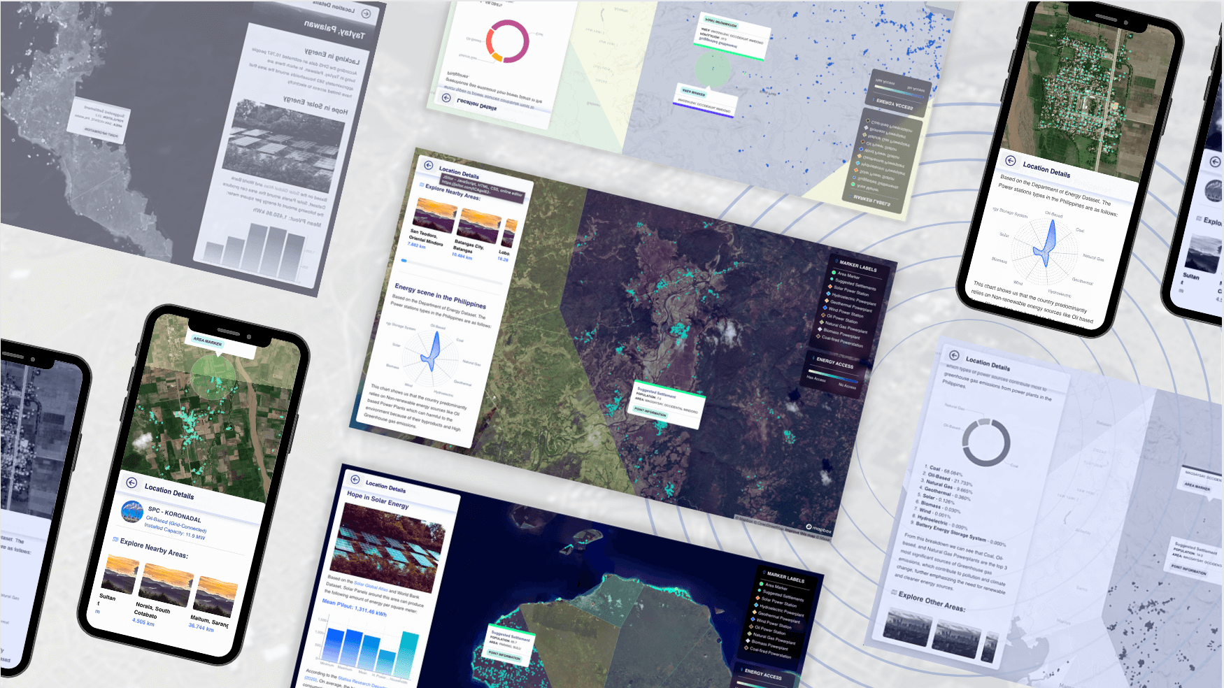
The Apolaki project is an open-source, data science project, built for Omdena Philippines. The goal is to create a Web Application that has a Map Interface and shows the potential areas in the Philippines where it might be ideal to build solar microgrids.
Insights from processing Satellite Images of VIIRS Nighttime lights, Population Density datasets, and the Calculated Solar Power outputs were utilized to create a model and suggest which areas in the Philippines could benefit from Solar Power the most.

The final design for the web app was inspired by Google Maps.
Due to the time constraint of only two weeks left before the project deadline, I made no official design mockups or screen renders, and instead just built it on the fly. The idea was to create a Map interface that would allow the users to see a list of the Potential Areas and requires to have Bilateral interaction so users can explore through the sidebar and the Map Interface.
The web app was built using NextJS, as the frontend framework. MapboxJS was used for the Map Interface, which provided a very flexible development experience, which is especially important for adding a large GeoJSON dataset produced by the Machine Learning model that contains all the interactive information on the map.
I also took the initiative to make sure that the Web Application is mobile responsive.

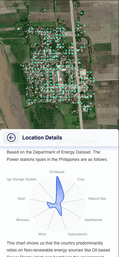

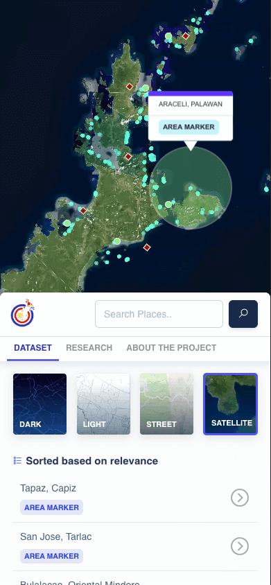

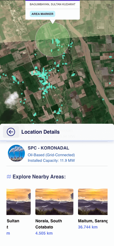
Despite the tight deadline, the project was completed and presented to the Omdena Team, and was well received, and praised for the quality of the output achieved in such a short amount of time.
A few months later it was be presented once again on Pista ng Mapa 2021, this time introduced as “Project Apolaki; Concerning the Philippine Sun God”. I co-presented the project with Albert Yumol, wherein I covered the capabilities of the Web Application and how it was developed.
